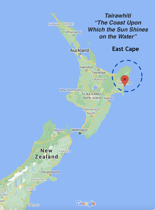
Good Day, Sunshine!
Gisborne claims “New Zealand’s Sunniest City” and East Cape first in the world to greet the sun. Actually, Samoa officially welcomes the new day, but technically, the earth’s curvature positions East Cape to first see sunrise.
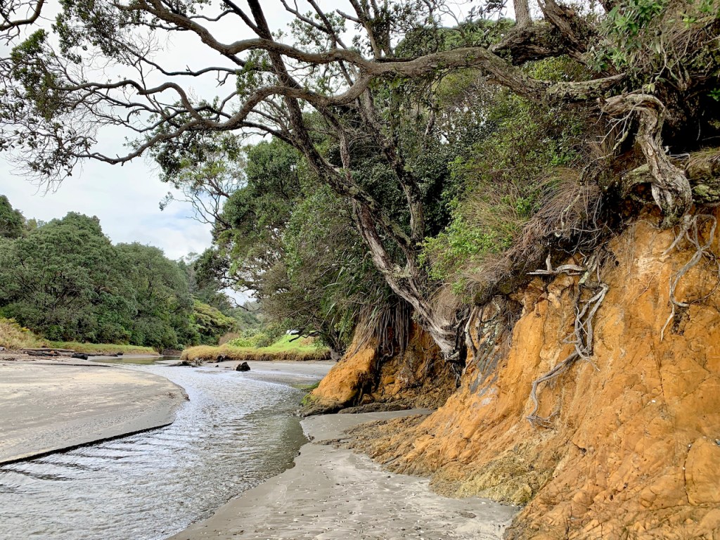
The East Cape has it all – From beach to peninsula, headlands, passing through forests and remote settings. Once again, something new around every curve and corner (of which there are many).
Everything…except the sun during our visit.

Wild Weather – Wild Landscapes
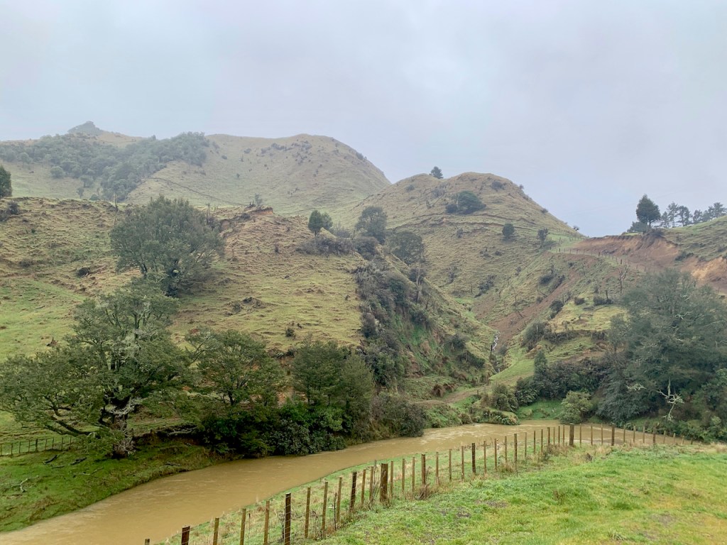
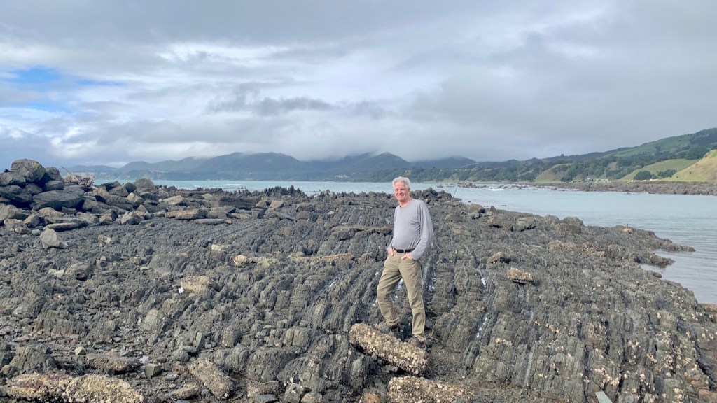
“Once-in-500-Years” – Flooded roads stopped us from circumnavigating the East Cape, but we drove SH35 until we had to backtrack. After the fact, we learned that “Stay Home” warnings had been issued due to widespread flooding and slips.
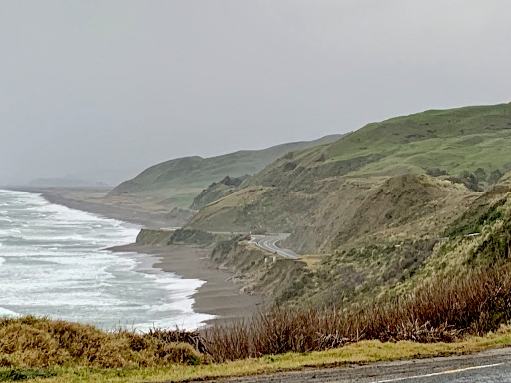
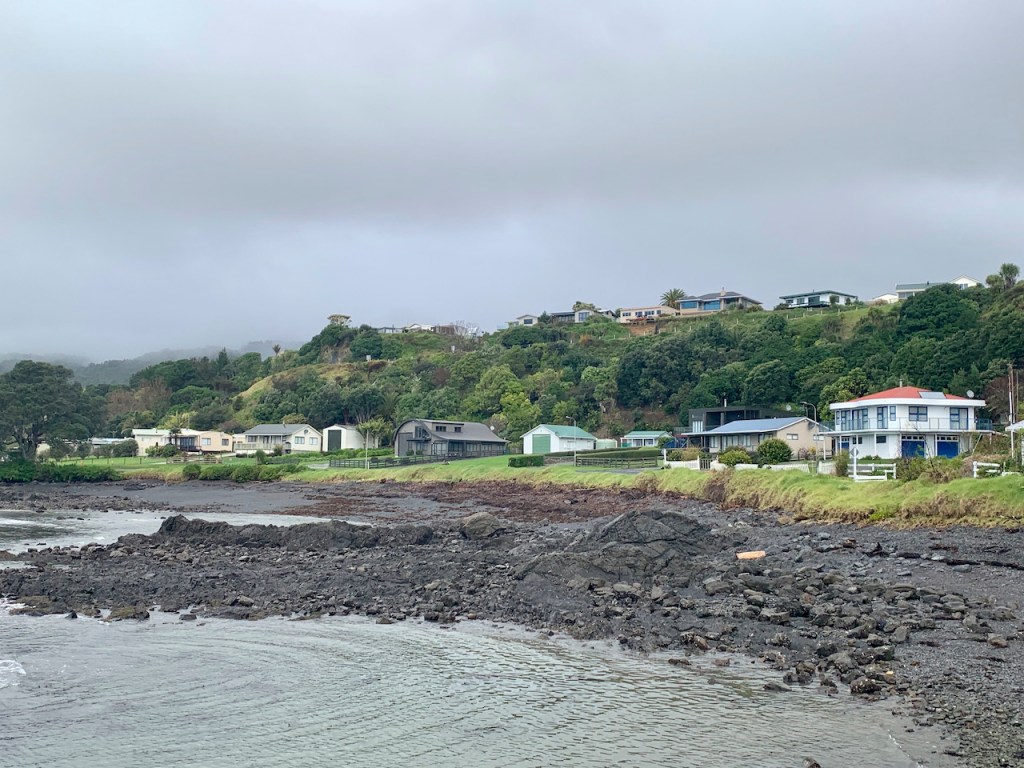
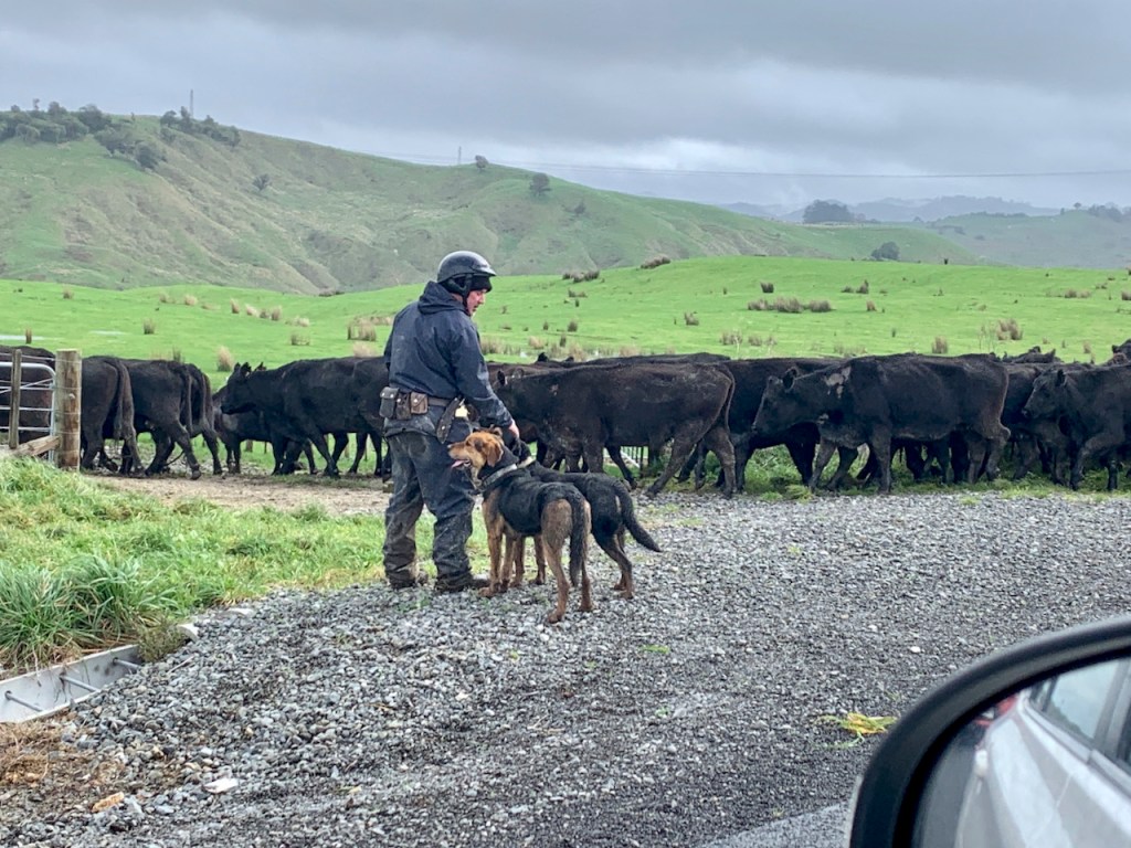
On a soggy day, we started near Gisborne and here is what we saw:
Mahia Peninsula – An Unexpected Beginning
The southern tip of the peninsula is home to the world’s only private orbital launch. The site, owned by American Company Rocket Lab, is licensed for a launch to occur every 72 hours, accommodating 120 flights/year.
A coastal scenic drive along Kinikini Road has epic views of stark cliffs and remote valleys via a winding (understatement) road.
Te Mahia mai Tawhiti means “the murmuring of home” – the immutable echo of the ocean.


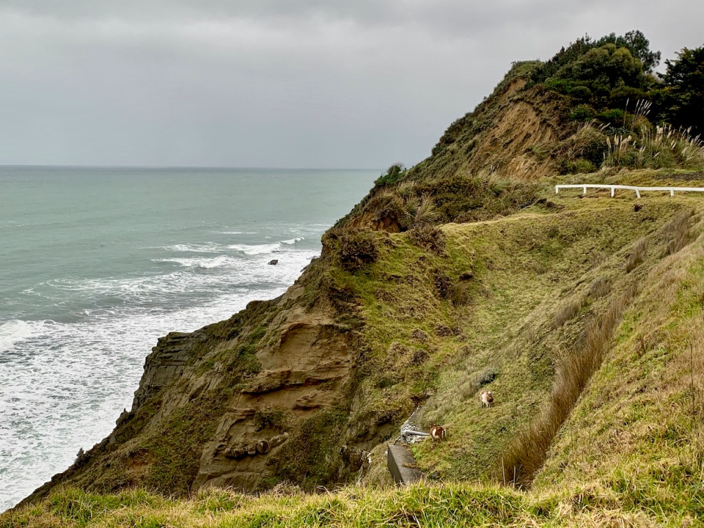
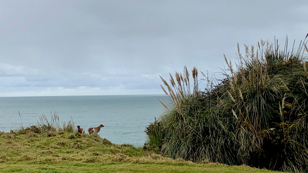
Mahia Valleys, Tracks, Roaming Goats

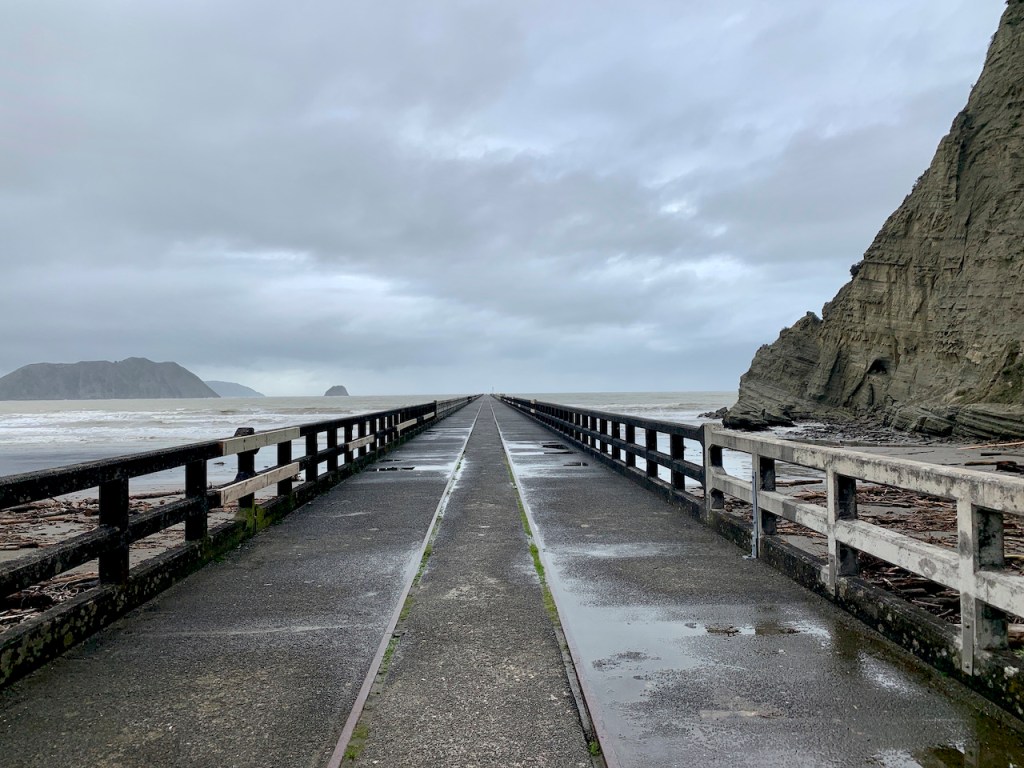
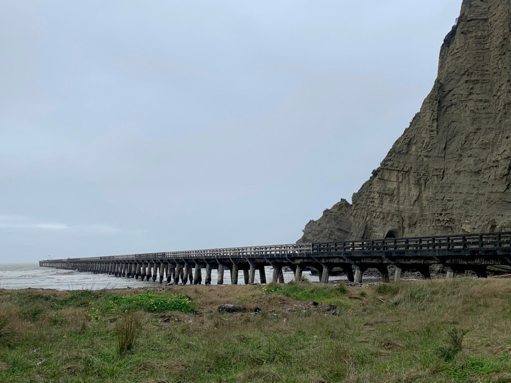
Tolaga Bay Wharf
North on SH35 is a 660 meter wharf (~1/2 mile), built in 1929 to facilitate loading sheep and cattle from the shallow bay.

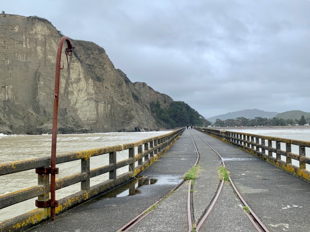

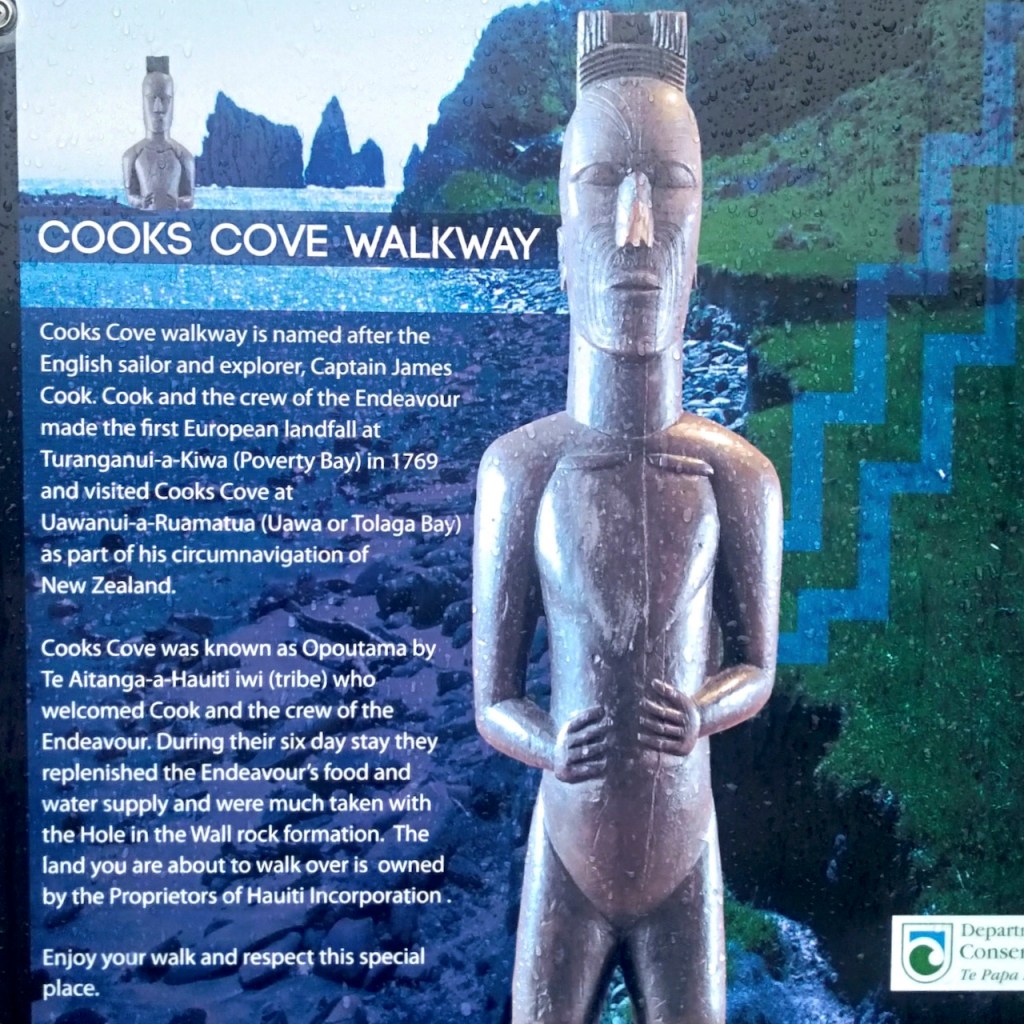
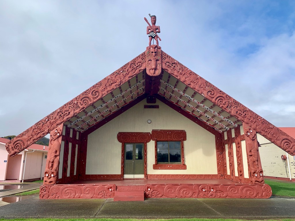
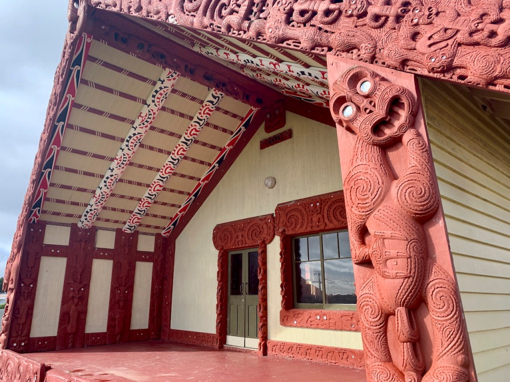
At the entrance is a pou whenua (carved post marker) used by Māori to mark places of significance. Elaborately carved pou are found throughout NZ.
During a break in the rain, an attempt on the 3-mile Cooks Cove Walkway was short-lived. Nature had a point to make. We detoured back to SH2 to cross East Cape via the Waioeka Gorge.

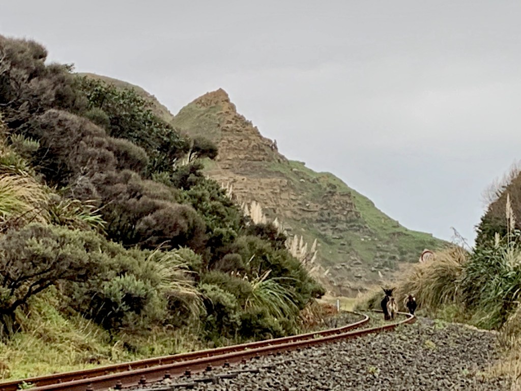
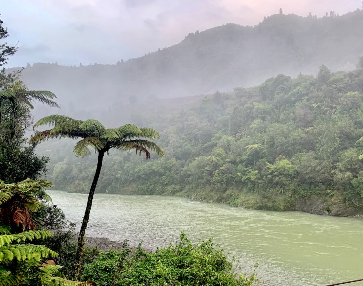
Remote Waioeka Gorge
Hinetapuaraua, a 7 meter tall (23 ft) steel pou by Nick Tupara, commemorates the ancestors of Te Aitanga a Mahaki at the new Motu Bridge. The white color represents the mist that flows through the valley.

Historic Tauranga Bridge. Built in 1922 over the Waioeka River to link the valley’s farms with the “outside” world. Restored in 1995, it is one of two of its kind that remain in NZ.

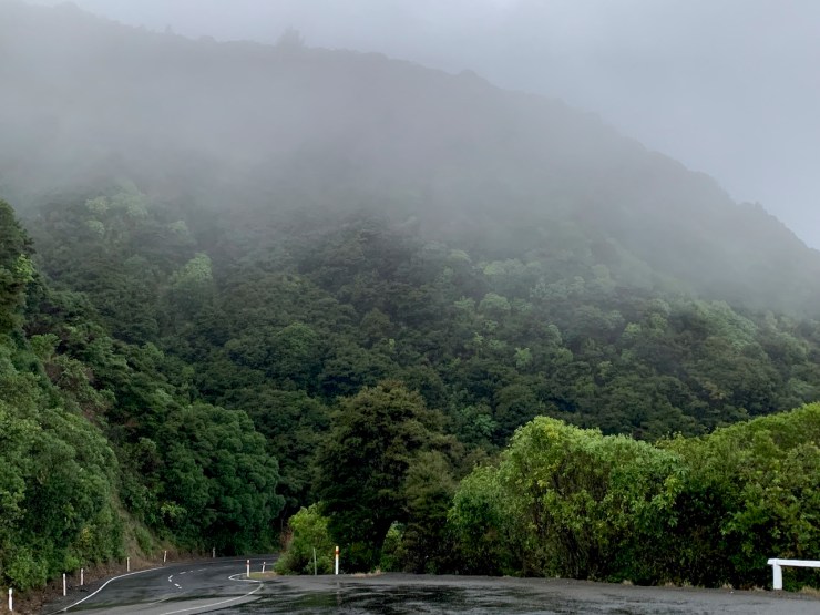
After reaching Ōpōtiki we learned it’s not unusual for big slips to close the gorge road. One could be stuck in between slips for days; thus unwise to dawdle on a stormy day. But stop we did.
Day 2 – Driving the West Side
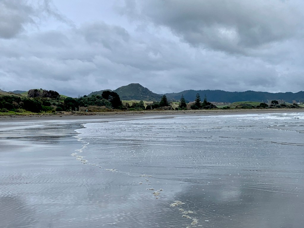
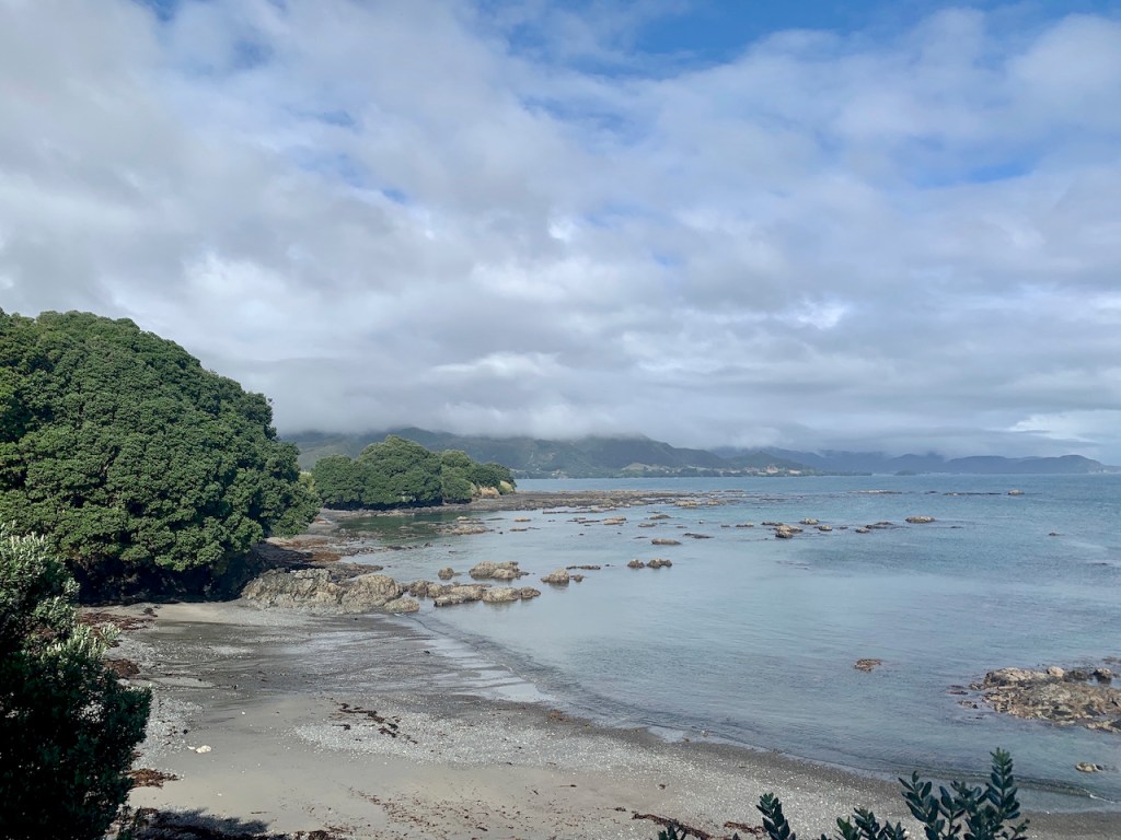
East Cape has the largest untouched forest in NZ and the downpours added to the typically misty mountains.
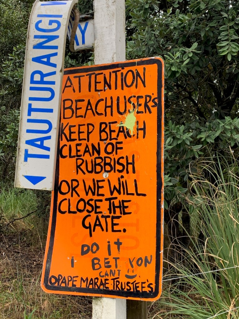
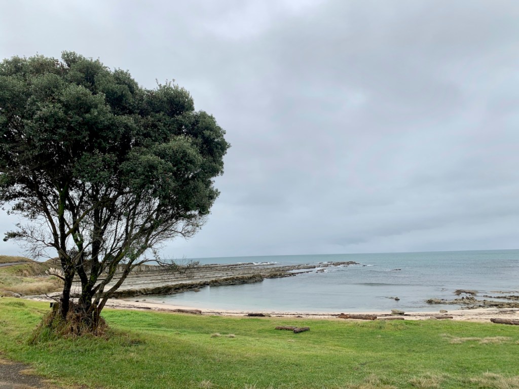
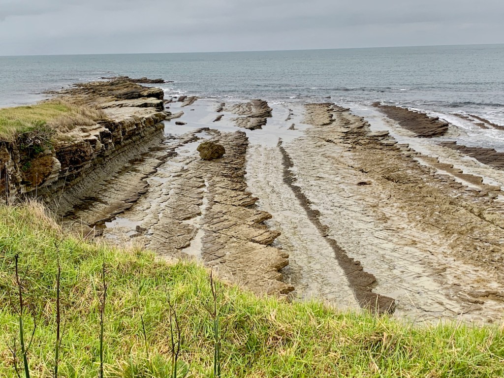
The Opape Tautarangi Walkway
The usual description applies – coastal walkway with stunning sea views and native flora. Disappointingly, the entry was flooded out. We tried twice.

Hawai Village
A surfing destination – at times.
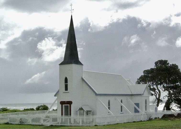
Raukokore Church on the Bay
Home for penguins under the foundation.

Te Kaka Marae and Coast

Give it a Go – on a Sunny Day
Downpours for days deterred us from MUST DO walks and climbing 700 steps to the East Cape Lighthouse (although the plan was NEVER to watch sunrise). Not sure rain would have stopped me…but closed roads did.
East Side (SH 35)
- Opape Walkway
- Whale Island Kayaking
- Macadamia Nut Farms
- Whanarua Bay, pretty sub-tropical bay
- Maungaroa Marae at Maraetai Bay
- Raukokore Church
West Side (SH 35)
- Paddle with Stingrays (Gisborne)
- Tolaga Wharf
- Cooks Cove Walkway
- Anauri Bay Scenic Walkway
- Te Puia Springs
- St. Mary’s Church (Tikitiki)
- East Cape Lighthouse
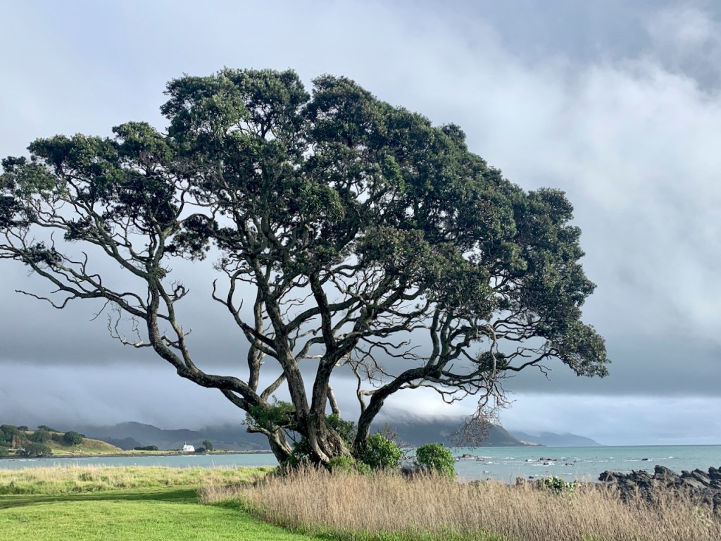
- Te Araroa – gigantic 600 year-old pōhutukawa tree
Waioeka Gorge (SH 2)
- Rere Rockslide
- Rere Falls
- Tauranga Bridge Walk

Subscribe to receive an email for new posts
To see more North Island – click below:
NORTH ISLAND ARCHIVE

North: Coromandel Seaside
“Good for your Soul” is the tagline for The Coromandel Region where Kiwis holiday. Two coastlines with mountain ranges and forest in-between.
Keep reading
Northland: Cape Reinga
Far Far North – Glorious east/west beaches, Bay after bay is a picture-book spot. Cape Reinga is breathtaking and the point where the spirits of…
Keep reading
Northland: Paihia Day Trips
This post features a massive boulder field (thank you volcano), gallery, parrots, and a bicycle trail (with eye-pecking magpies).
Keep reading
Northland: Paihia, Opua, Russell, Kerikeri
Northland – SO MUCH sensory overload. It takes me by surprise at every turn – and there are a lot of turns!
Keep readingSomething went wrong. Please refresh the page and/or try again.
Click bullets to view our other destinations
Discover more from Travel Broadly - Marlene & Steve
Subscribe to get the latest posts sent to your email.

What an adventure! Love the fog and mist in the forest. And you already have a ‘to do’ list for another visit.
LikeLiked by 2 people
What a fascinating rainy trip around East Cape! Each photo is an unusual gem and your list at the end is awesome. I think you have a New Zealand travel eBook waiting in your blog. Love it. xo
LikeLiked by 2 people