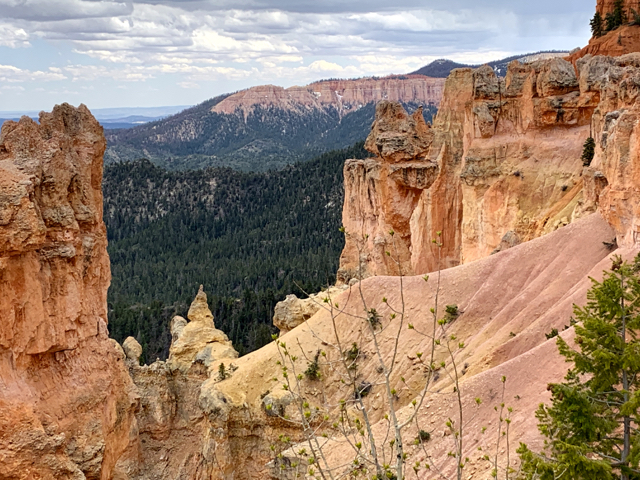
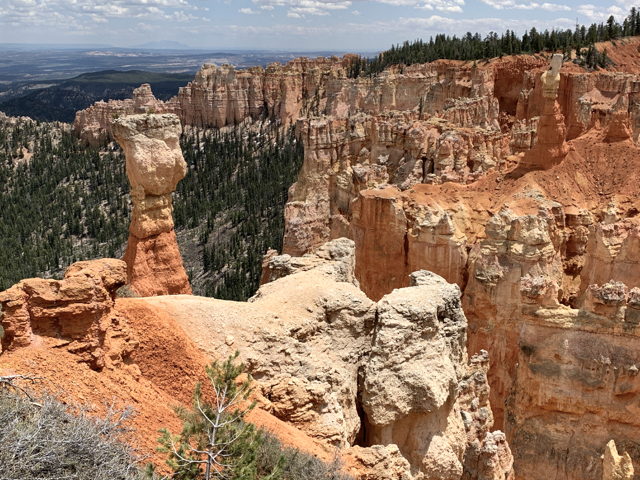
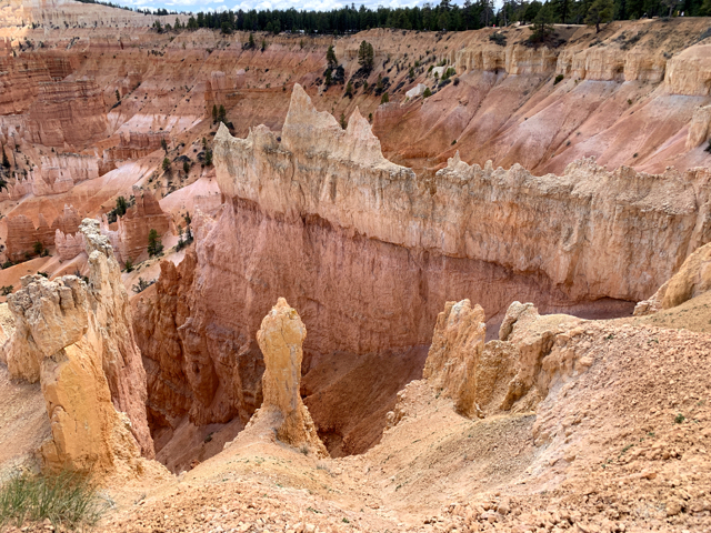
Hoodoos, Sand Pipes and a Staircase
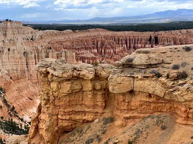
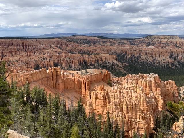
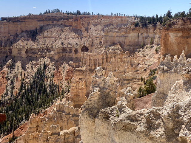
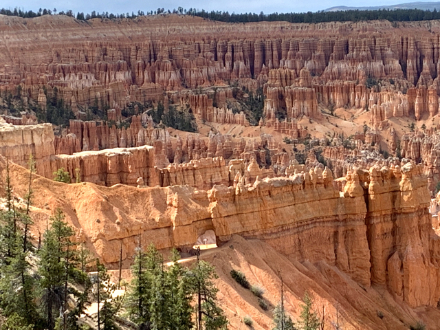
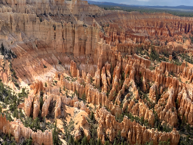
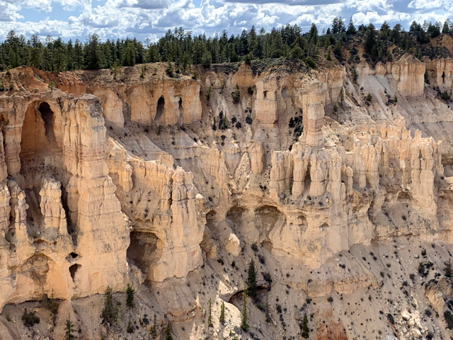
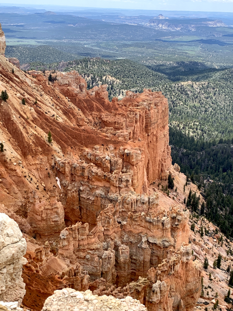
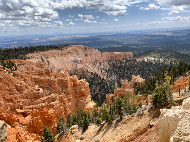
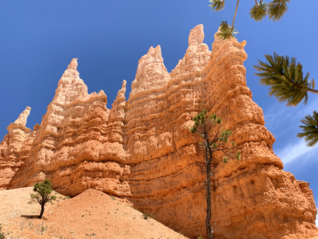
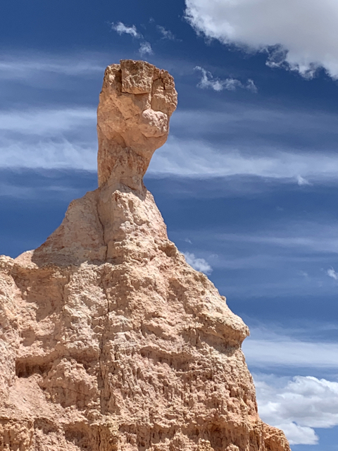
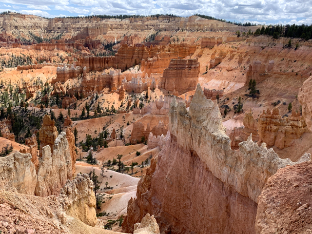
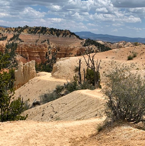
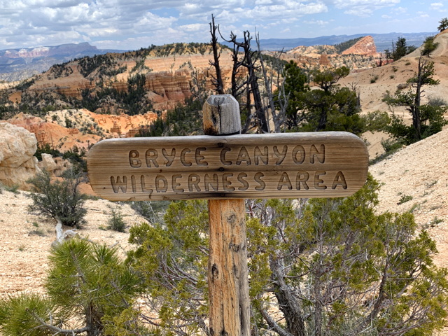
Technically not a canyon, amphitheaters FILLED with multi-color hoodoos, pinnacles, buttresses, columns, and arches. Bryce has an 18-mile scenic road and true jaw-dropping pull-offs. The MOST AMAZING sight starts at Bryce Point and a 2 mile walk on the Rim Trail to Sunrise Point. This is Silent City and the Wall of Windows:

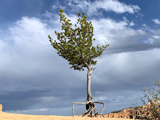
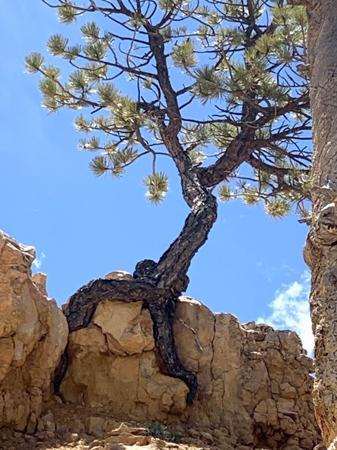
Limber Pine
Agua Canyon and Natural Bridge on the Scenic Drive
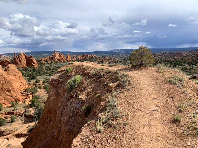
Rainbow and Yavimpa Points
Views to Grand Staircase and Vermillion Cliffs in Arizona.
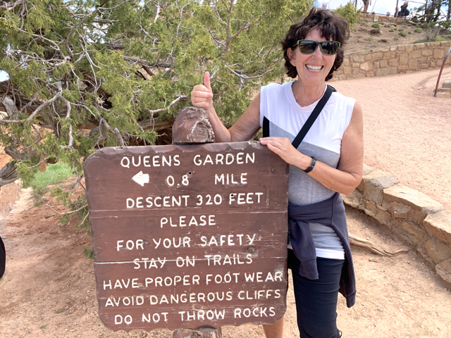
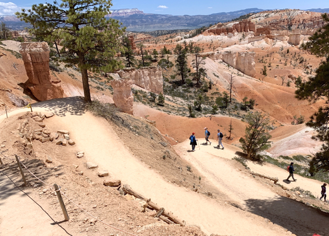
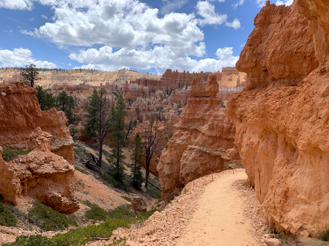
Queens Garden Trail to hike in the hoodoos.

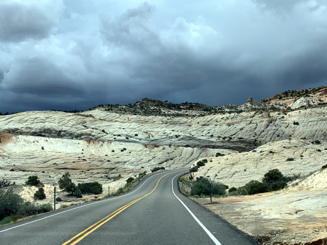
The Road To Bryce Canyon
Highway 12 (124 miles) is designated a Scenic Byway by the US Department of Transportation because it has features that are unique and do not exist elsewhere in the US. It is a marvel – two national parks, three state parks, a national monument, the Dixie National Forest and a national recreation area (Calf Creek).
“The million dollar highway” was a Civilian Conservation Corp (CCC) project from 1935 to 1940. The workers blasted through slickrock and removed debris by hand or horse-drawn scrapers. The completion ended mule treks carrying supplies and mail over slickrock and through narrow canyons. The Hogsback on UT12 is a razorback ridge with steep drop-offs to canyons waaaaay down there.
Here is a link to all US Scenic Byways. https://www.fhwa.dot.gov/byways

The Grand Staircase – Escalante National Monument (GSENM)
Way down there – 1.9 million acres designated a conservation area in 1966. This is remote country for backcountry trekkers, researchers, archaeologists, and conservationists.
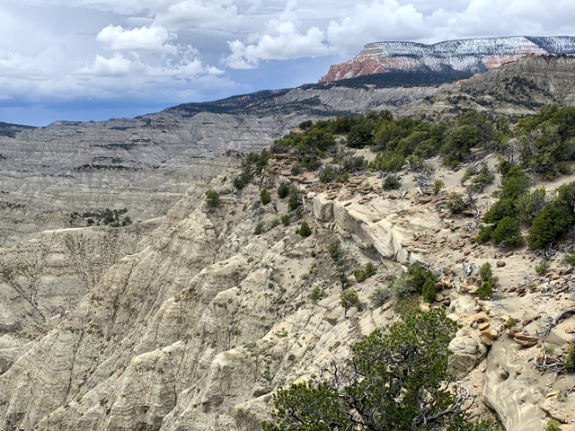

There is no staircase. It is a series of massive geological steps descending to the Grand Canyon with 5 cliff formations. At the base are the Chinle Badlands.
- Pink Cliffs – limey siltstone, 50-60 million years (Bryce)
- White Cliffs – Navajo Sandstone, 150 million years (Zion and Capitol Reef)
- Gray Cliffs – shale from when the ocean covered the land, 130 million years
- Vermillion Cliffs – cinnabar color of silt and desert dunes, 165-200 million years (Lees Ferry, AZ)
- Chocolate Cliffs of Kaibab limestone, 200-225 million years (Grand Canyon North Rim)
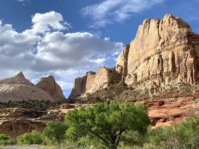
White/Navajo Sand – Capitol Dome 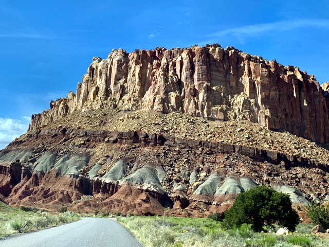
Layers – Chocolate, Gray, Navajo Sand Capitol Reef 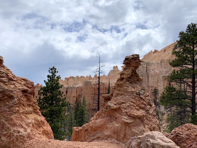
Pink Cliffs – Bryce, Rainbow Point
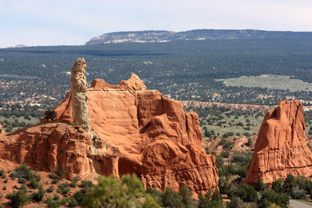
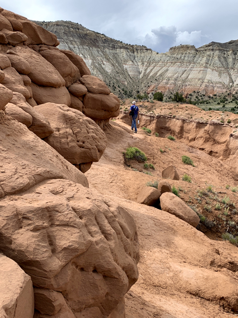
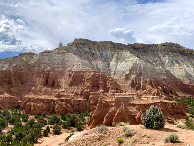
More on Utah Byway 12: Kodachrome Basin State Park
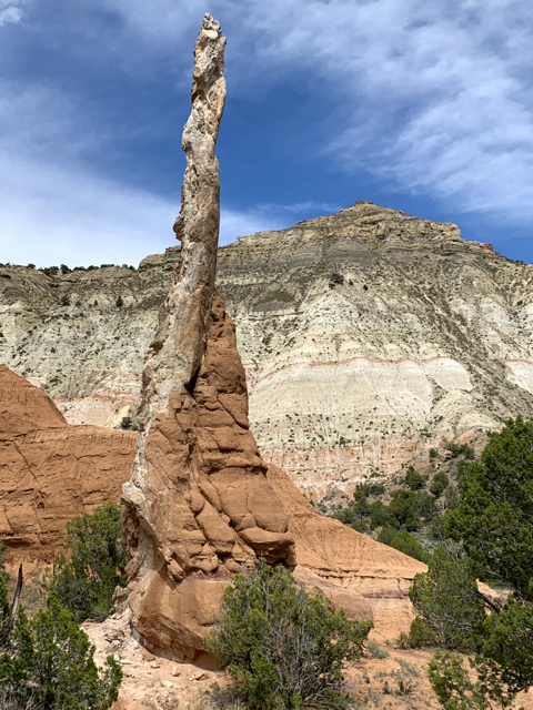
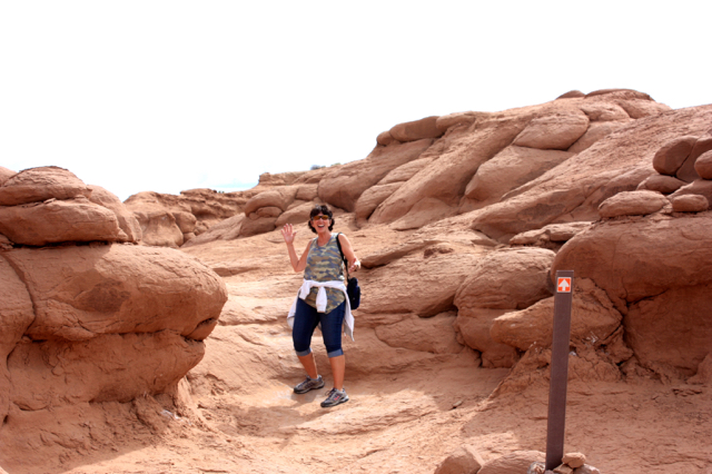
Kodachrome Basin State Park at the edge of Grand Staircase-Escalante has unusual geological chimneys (sand pipes) that appear nowhere else in the world.
There are more than 60 sand pipes from 6′ to 170′.

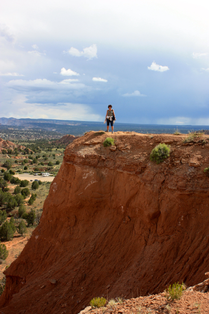
Angel Palace Trail
A short hike up to the butte and then a sandy walk that fulfilled my urge to “go to the edge” like a goat.


Recommendations
The Hole-in-the-Rock Scenic Backway – a 57 mile 4WD road that follows a wagon road established by Mormon Pioneers in 1879 from Escalante to the Colorado River. At the end a steep, jagged gouge in the cliffs drops 600 feet to Lake Powell.
Sunset and Stargazing – by the end of the day we were too tired to look up, but next time:
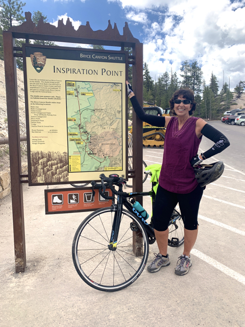
- Bryce Canyon – Sunset at Inspiration Point or Paria View
- Stargazing at 10pm in the park
- Sunset at Hogsback, UT 12
More Hikes


Bryce Navajo Loop Trail the most popular trail. Includes Wall Street, a passage 20 feet wide, walls 100 feet high, and a walk through Silent City. 1.5 mile loop. It was closed due to rockslides during our visit.
Bryce Peekaboo Loop 5 to 7 mile loop to the Wall of Windows (or ride a horse).
Bryce Fairyland Loop 8 miles. 1,700 feet elevation change.
Kodachrome Grand Parade Trail – a gentle 1.5 mile loop to box canyons and rock formations.
Kodachrome Cottonwood Narrows 3 miles in and back for an isolated narrows hike (no climbing skills or equipment). The 4WD road to this trailhead was closed during our visit – impassable when wet.
Calf Creek Recreation Area, Lower Calf Creed Falls Trail to a 126 foot waterfall in GSENM. The campsites almost inspire me to buy a tent (again.)
Subscribe to receive emails for new posts
Click bullets to view our other destinations
Discover more from Travel Broadly - Marlene & Steve
Subscribe to get the latest posts sent to your email.

The photos and narrative in this post are exceptional, and I’m not saying that just because I love this part of Utah so much. Makes me want to go back and check out your route and recommendations!
LikeLike
Great post :)
LikeLike
Once again, beautiful photos! Thanks for sharing 😊
LikeLike